

Colleges
- AAC
- ACC
- Big 12
- Big East
- Big Ten
- Pac-12
- SEC
- Atlantic 10
- Conference USA
- Independents
- Junior College
- Mountain West
- Sun Belt
- MAC
- More
- Navy
- UAB
- Tulsa
- UTSA
- Charlotte
- Florida Atlantic
- Temple
- Rice
- East Carolina
- USF
- SMU
- North Texas
- Tulane
- Memphis
- Miami
- Louisville
- Virginia
- Syracuse
- Wake Forest
- Duke
- Boston College
- Virginia Tech
- Georgia Tech
- Pittsburgh
- North Carolina
- North Carolina State
- Clemson
- Florida State
- Cincinnati
- BYU
- Houston
- Iowa State
- Kansas State
- Kansas
- Texas
- Oklahoma State
- TCU
- Texas Tech
- Baylor
- Oklahoma
- UCF
- West Virginia
- Wisconsin
- Penn State
- Ohio State
- Purdue
- Minnesota
- Iowa
- Nebraska
- Illinois
- Indiana
- Rutgers
- Michigan State
- Maryland
- Michigan
- Northwestern
- Arizona State
- Oregon State
- UCLA
- Colorado
- Stanford
- Oregon
- Arizona
- California
- Washington
- USC
- Utah
- Washington State
- Texas A&M
- Auburn
- Mississippi State
- Kentucky
- South Carolina
- Arkansas
- Florida
- Missouri
- Ole Miss
- Alabama
- LSU
- Georgia
- Vanderbilt
- Tennessee
- Louisiana Tech
- New Mexico State
- Middle Tennessee
- Western Kentucky
- UTEP
- Florida International University
High School
- West
- Midwest
- Northeast
- Southeast
- Other
- Alaska
- Arizona
- California
- Colorado
- Nevada
- New Mexico
- Northern California
- Oregon
- Southern California Preps
- Washington
- Edgy Tim
- Indiana
- Kansas
- Nebraska
- Iowa
- Michigan
- Minnesota
- Missouri
- Oklahoma Varsity
- Texas Basketball
- Texas
- Wisconsin
- Delaware
- Maryland
- New Jersey Basketball
- New Jersey
- New York City Basketball
- Ohio
- Pennsylvania
- Greater Cincinnati
- Virginia
- West Virginia Preps
ADVERTISEMENT
Install the app
How to install the app on iOS
Follow along with the video below to see how to install our site as a web app on your home screen.
Note: This feature may not be available in some browsers.
You are using an out of date browser. It may not display this or other websites correctly.
You should upgrade or use an alternative browser.
You should upgrade or use an alternative browser.
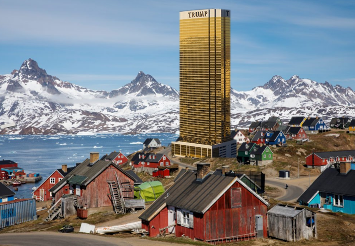
Buy Greenland!!!!
- Thread starter Joes Place
- Start date

Greenland has free government healthcare. The US could buy it, keep it that way, and it could be a fantastic destination for democrats to flock to to make a living. Not only that they could preserve the glaciers, ensuring they don't melt. Greenland is critically important to climate change, so who better than a lot of democrat refugees to manage it. They could, in fact, save the world! It could be the socialist utopia many democrats dream of, all without having to get a passport!
The only remaining question...which one of the Democrat candidates for president will take this up as their differentiating issue to win? Let's be honest, the promise of democrats moving to greenland is perhaps the only thing that could make republicans abandon Trump for a democrat...
The only remaining question...which one of the Democrat candidates for president will take this up as their differentiating issue to win? Let's be honest, the promise of democrats moving to greenland is perhaps the only thing that could make republicans abandon Trump for a democrat...
We can’t afford healthcare but we can buy Greenland?
According to the source of all knowledge, Wikipedia ....
"Greenland is expected to be one of the world’s next great mining frontiers as global warming starts to uncover precious metals from the frozen surroundings. Substantial volumes of minerals are now within reach of geological land mapping technologies, according to research conducted by GlobalData, a natural resources business intelligence provider"
Right now, there are only 57,000 people living in Greenland. Thanks to wonderful global warming, the abundant natural resources are about to be available. So, we simply send a few million illegal immigrants to Greenland to work in our new mines, toss each one a few Danish krones and the US makes a bundle.
Now we can afford health care. Simple.

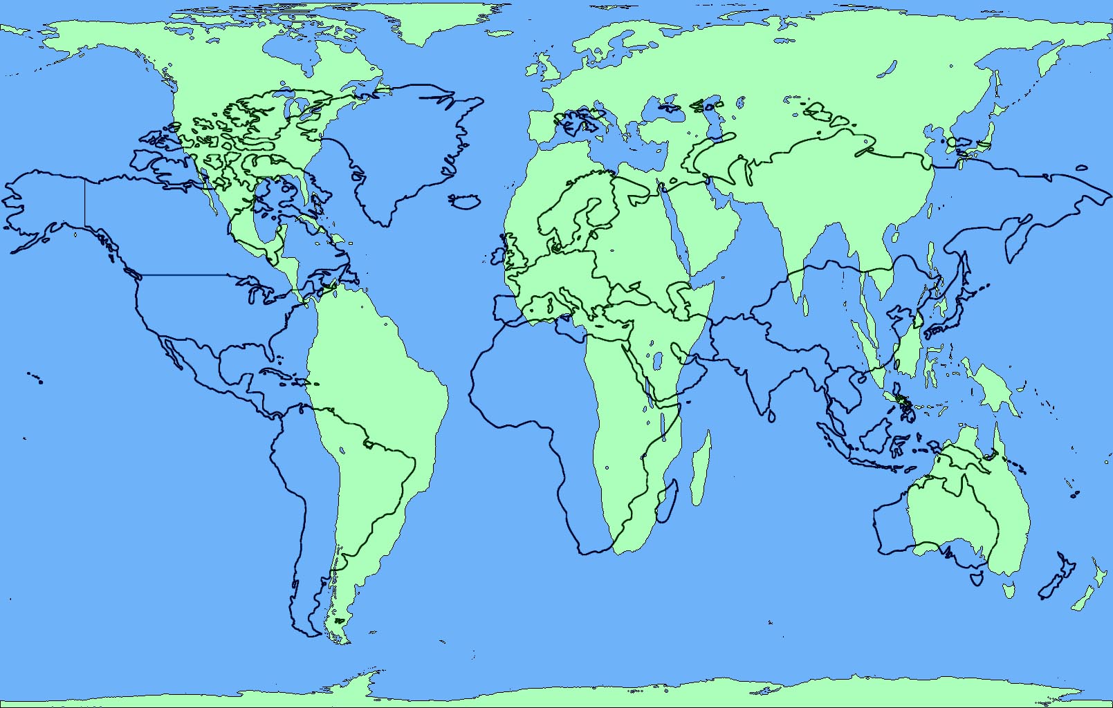
The map doesn't change the familiar shape of the country. I suspect that's why it seems off. To use your example, at the border with Mexico, the US and Mexico would obviously have the same length border. But if you keep the familiar shapes of the countries, they don't.I found the link to that. It is based on the work of one scientist. The explanation for the shrinkage of countries was based on distance from the equator. I clicked the animation. Countries with the same latitude shrink at different rates. We shrink a lot while at the border with Mexico, they hardly shrink. I think his model needs some tuning. For better perspective I would look at satellite imagery of earth.
Just guessing.
Well, Greenland has said no.
Denmark has said no.
Greenland has said it is "not for sale" following reports that US President Donald Trump has spoken about buying the world's biggest island.
The president is said to have discussed the idea of purchasing Greenland, an autonomous Danish territory, during dinners and meetings with advisers.
But Greenland's foreign ministry dismissed the idea, saying: "We're open for business, not for sale."
Mr Trump's reported plans have also been quickly dismissed by politicians in Denmark. "It must be an April Fool's Day joke...but totally out of [season]!", tweeted former Prime Minister Lars Lokke Rasmussen.
The Wall Street Journal (WSJ), which first reported the news, said Mr Trump had spoken about the purchase with "varying degrees of seriousness".
Sources quoted in other media differed over whether the president was joking or seriously hoping to expand US territory.
The White House has not commented on the reports.
And while it's still cold, we can put our gulags there.According to the source of all knowledge, Wikipedia ....
"Greenland is expected to be one of the world’s next great mining frontiers as global warming starts to uncover precious metals from the frozen surroundings. Substantial volumes of minerals are now within reach of geological land mapping technologies, according to research conducted by GlobalData, a natural resources business intelligence provider"
Right now, there are only 57,000 people living in Greenland. Thanks to wonderful global warming, the abundant natural resources are about to be available. So, we simply send a few million illegal immigrants to Greenland to work in our new mines, toss each one a few Danish krones and the US makes a bundle.
Now we can afford health care. Simple.
Not that gulags need to be cold, but it's traditional.
No need to guess.The map doesn't change the familiar shape of the country. I suspect that's why it seems off. To use your example, at the border with Mexico, the US and Mexico would obviously have the same length border. But if you keep the familiar shapes of the countries, they don't.
Just guessing.
I find it scary that the people who work for Trump can't tell when he's joking.Well, Greenland has said no.
Denmark has said no.
Greenland has said it is "not for sale" following reports that US President Donald Trump has spoken about buying the world's biggest island.
The president is said to have discussed the idea of purchasing Greenland, an autonomous Danish territory, during dinners and meetings with advisers.
But Greenland's foreign ministry dismissed the idea, saying: "We're open for business, not for sale."
Mr Trump's reported plans have also been quickly dismissed by politicians in Denmark. "It must be an April Fool's Day joke...but totally out of [season]!", tweeted former Prime Minister Lars Lokke Rasmussen.
The Wall Street Journal (WSJ), which first reported the news, said Mr Trump had spoken about the purchase with "varying degrees of seriousness".
Sources quoted in other media differed over whether the president was joking or seriously hoping to expand US territory.
The White House has not commented on the reports.
Is that really true?
I vaguely remember that. It's great.
Everybody should take the couple of minutes to watch it - partly for the maps, partly to remember what a good show West Wing was.
My guess is that they just used the average latitude of a country. Still doesn't explain why the northern hemisphere countries shrunk dramatically while the southern hemisphere countries hardly shrank at all.The map doesn't change the familiar shape of the country. I suspect that's why it seems off. To use your example, at the border with Mexico, the US and Mexico would obviously have the same length border. But if you keep the familiar shapes of the countries, they don't.
Just guessing.

Big Block of Cheese day, I believe.I vaguely remember that. It's great.
Everybody should take the couple of minutes to watch it - partly for the maps, partly to remember what a good show West Wing was.
The first few seasons of WW are as good as TV gets. I think I'm going to start watching it again - I don't quite have it memorized yet.
That and it's not for sale.So not one person can think of a bad reason to do this other than Trump is the one doing it.
.seems like a good idea if the price is right
trump bought Alaska? I guess the public schools are biased.How did that Alaska purchase turn out?
I found the link to that. It is based on the work of one scientist. The explanation for the shrinkage of countries was based on distance from the equator. I clicked the animation. Countries with the same latitude shrink at different rates. We shrink a lot while at the border with Mexico, they hardly shrink. I think his model needs some tuning. For better perspective I would look at satellite imagery of earth.
It's based on 'average latitude'.
Mexico's average latitude is far lower than the US's.
I’m not able to provide any insight, but if you research it and discover anything interesting, please report back.I'd be interested to hear a serious take on the positives and negatives, and what a fair price would be.
How did that Alaska purchase turn out?
If you think Greenland is for sale, you are definitely as stupid as he is.
When we pick up Greenland do you think we could kick either Rutgers or Nebraska out of the BIG and pick up Greenland U in their place?
When we pick up Greenland do you think we could kick either Rutgers or Nebraska out of the BIG and pick up Greenland U in their place?
Nope,... not contiguous....
Obviously, he's focused on trying ingrain Trump into the lexicon of American history rather than being a blip on the Presidential radar. That was why he got suckered into dealing with N. Korea and then lobbied for a Nobel Prize. This "idea" - etc. Economic and social policies are difficult, get muddled and he loses his patience and focus too easily.
So....I think the time is rip to change the name to "Gulf of America".
So....I think the time is rip to change the name to "Gulf of America".
Looks like our "regular" map is vertically centered on DC (or the Mediterranean or some such). Giving the impression that we're in the middle of the map. But DC is actually about 2600 miles north of the equator.Still doesn't explain why the northern hemisphere countries shrunk dramatically while the southern hemisphere countries hardly shrank at all.
Meanwhile the globe is "unrolled" at the equator to make the Mercator map. So the farther from the equator, the more land masses are stretched. The bulk of South America is closer to the equator, so doesn't enlarge as much to make the Mercator map.
As I keep pointing out, our Founding Fathers envisioned us owning the whole North American continent. That's why they called themselves the Continental Congress, and called our army the Continental Army. Ambitious, sure, but then we started working to fulfill that dream.Obviously, he's focused on trying ingrain Trump into the lexicon of American history rather than being a blip on the Presidential radar. That was why he got suckered into dealing with N. Korea and then lobbied for a Nobel Prize. This "idea" - etc. Economic and social policies are difficult, get muddled and he loses his patience and focus too easily.
So....I think the time is rip to change the name to "Gulf of America".
What we need to do next is buy Canada from the British Commonwealth. With their BREXIT problems, it should be easy for Trump to steamroller a deal.
In fact I'm sure that was the reason Trump supported BREXIT. Figured he could pick up British colonies at fire sale prices.
He probably thinks Greenland is one of those British colonies.
I saw this the other day and thought it was cool. Using Greenland’s actual tiny size as an excuse to post it.
Yep, in my cartography class we went over map projections and how none will show an accurate size, shape, and direction.......projections will only represent one of those accurately.
Till now

This is how they got it:

Finally, a World Map That Doesn’t Lie
I see Westeros and Essos, but what are those two land masses on the right side of the map?Yep, in my cartography class we went over map projections and how none will show an accurate size, shape, and direction.......projections will only represent one of those accurately.
Till now
This is how they got it:
Finally, a World Map That Doesn’t Lie
Last edited:
I see Westeros and Esteros, but what are those two land masses on the right side of the map?
The second map? One is Antarctic and not sure what the other one is
I saw this the other day and thought it was cool. Using Greenland’s actual tiny size as an excuse to post it.
Yep, in my cartography class we went over map projections and how none will show an accurate size, shape, and direction.......projections will only represent one of those accurately.
Till now
This is how they got it:
Finally, a World Map That Doesn’t Lie
So this is proof that Simple Sara could see Russia and the earth is flat???
It was a super poor attempt at humor by me.The second map? One is Antarctic and not sure what the other one is
It was a super poor attempt at humor by me.
Ahhhh, a Game of Thrones joke.............I stopped watching a few episodes into the second season
On that note, I'm into the 3rd season of Berlin Station and it's VERY GOOD
Though it has vast natural resources across its 811,000 square miles, Greenland relies on $591 million of subsidies from Denmark annually, which makes up about 60% of its annual budget, according to U.S. and Danish government statistics.
That'll help shore up the deficit, won't it?
For context, we spend 26X that amount on farm subsidies, which doesn’t include the various other forms of rural welfare.
https://www.agriculture.com/news/crops/trump-tariff-payments-could-triple-farm-subsidies-this-year
So we've outright purchased these lands in our history:
Louisiana Purchase
Florida
Mexican Cession and Gadsden Purchase (SW USA)
Seward's Folly (Alaska)
Philippine Islands (obviously we didn't keep)
US Virgin Islands (from Denmark BTW)
Harry Truman had also approached Denmark about purchasing Greenland in 1946.
But President Trump is absolutely crazy for floating the idea of buying Greenland, again. Greenland has a great potential for mineral resources and could be a very valuable acquisition by the USA. It's no secret that both Russia and China are looking more and more into interests in the Arctic Region.
Because Trump brings up the idea it is laughed at and automatically DOA. I wish people would be more open to actually thinking about things like this rather than automatically opposing the idea just because it came from the "other side". Given our history of land acquisitions, I would say that the President is being forward thinking in considering the idea. Of course, our purchase of Alaska from Russia was laughed at and called a "Folly" and look how that turned out.
As for Denmark and Greenland saying "not for sale". That's fine, you don't know unless you ask.
Everything is for sale.If you think Greenland is for sale, you are definitely as stupid as he is.


Similar threads
- Replies
- 9
- Views
- 235
- Replies
- 10
- Views
- 211
- Replies
- 1
- Views
- 83
- Replies
- 3
- Views
- 80
ADVERTISEMENT
ADVERTISEMENT