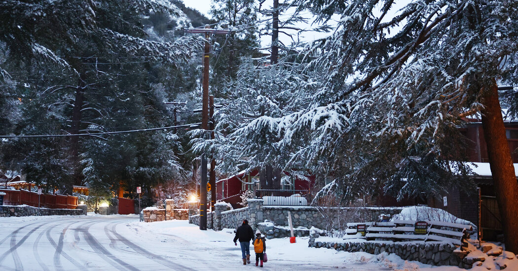
A slow-moving winter storm will intensify over California on Friday, forecasters said, a day after it walloped large swaths of the West with snow and a wintry mix that disrupted travel along a number of major arteries.
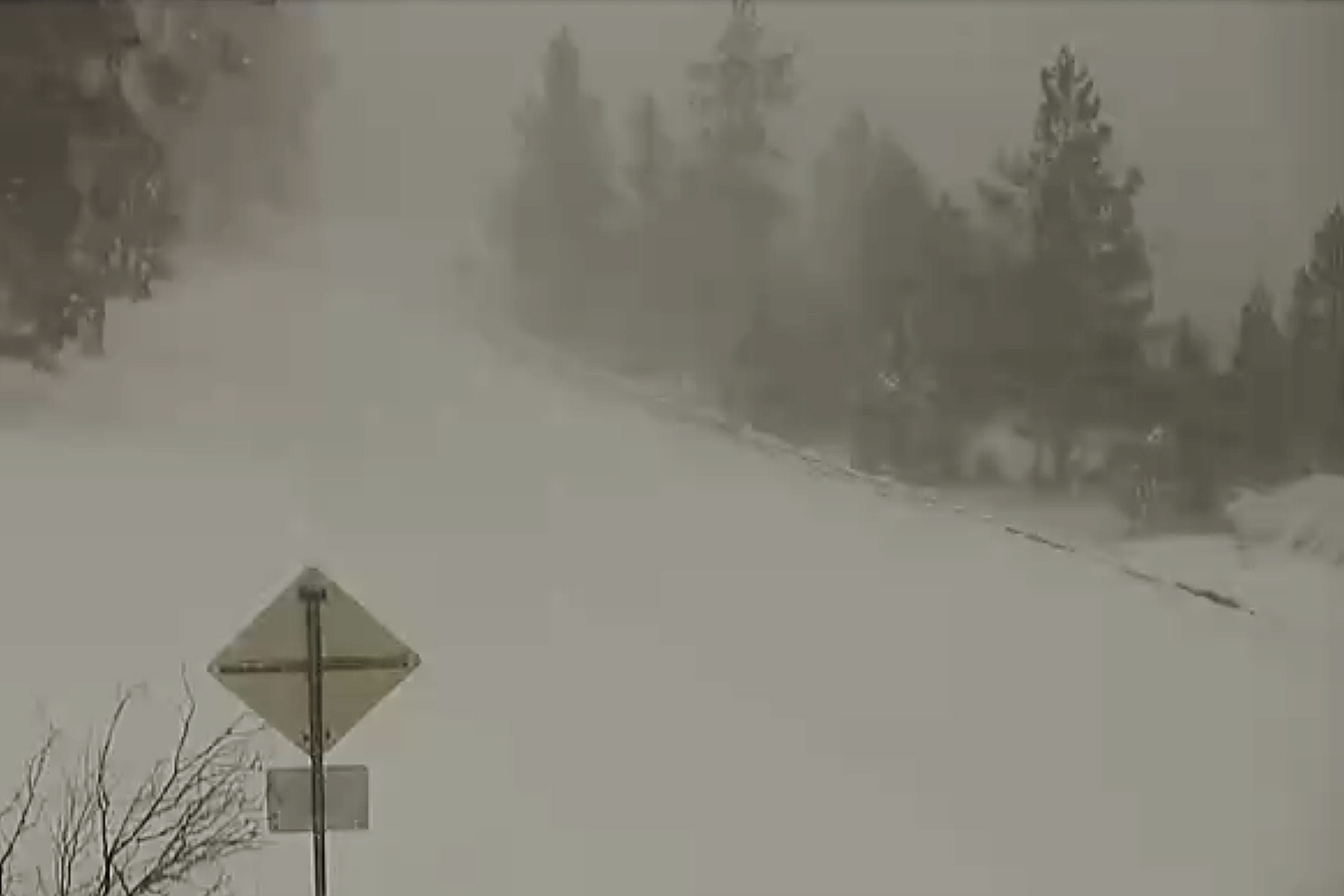
Multiple rounds of heavy snow combined with strong winds will create blizzard conditions over high terrain and mountain passes, including in the Sierra Nevada and the Transverse Range in Southern California, the National Weather Service said early Friday.
While the winter weather began in some areas on Thursday, the greatest chances for rain, heavy snow and strong winds in the southern part of the state will be on Friday. Several inches of rain may fall along the coasts and valleys, and the heaviest snow, up to seven feet, may fall in elevations 4,500 feet above sea level. Areas between 2,500 and 4,500 feet are expected to receive up to a foot of snow. Wind gusts of 60 to 75 miles per hour will also play a factor throughout the day.
 www.nytimes.com
Multiple rounds of heavy snow combined with strong winds will create blizzard conditions over high terrain and mountain passes, including in the Sierra Nevada and the Transverse Range in Southern California, the National Weather Service said early Friday.
While the winter weather began in some areas on Thursday, the greatest chances for rain, heavy snow and strong winds in the southern part of the state will be on Friday. Several inches of rain may fall along the coasts and valleys, and the heaviest snow, up to seven feet, may fall in elevations 4,500 feet above sea level. Areas between 2,500 and 4,500 feet are expected to receive up to a foot of snow. Wind gusts of 60 to 75 miles per hour will also play a factor throughout the day.
Rare Blizzard Takes Aim at Southern California
A powerful storm has brought snow up and down the West Coast. “It’s not a weekend for the beach,” one Los Angeles County official said.