ADVERTISEMENT

Severe Weather 4/25 - 4/28

Colonoscopy

HR Legend
Feb 20, 2022
11,234
12,177
113
51
Saint Louis, Mo
Decent chance for tornadic supercells in the western plains today. (NW KS down through the TX panhandle)

Tomorrow the threat shifts to E NE through Western Iowa. Looks to be late afternoon, chance for tornadic storms.

Saturday looks like a major outbreak day across the plains and possibly upper midwest. I'll probably be down in Kansas where a very volatile severe weather scenario may unfold.

That said, a warm front looks to lift north and may make it up into Iowa. Again tornadic supercells will be a threat. Perhaps the length of the state along the I-80 corridor. Will know more on this target as the event nears.

Finally, Sunday the system looks to exit the region, but not before rolling through Iowa. If the atmosphere can recover and destabilize we may see another round of severe weather.

Active scenario about to unfold. Have the chance to get some nice rain out of it to boot.


Tab1FileL.png

Tab2FileL.png
 
  • Like
Reactions: h-hawk
Hope the Des Moines area finally gets some significant rain-the "Des Moines Dome" has had us receiving less than the areas surrounding us thus far.
 
Decent chance for tornadic supercells in the western plains today. (NW KS down through the TX panhandle)

Tomorrow the threat shifts to E NE through Western Iowa. Looks to be late afternoon, chance for tornadic storms.

Saturday looks like a major outbreak day across the plains and possibly upper midwest. I'll probably be down in Kansas where a very volatile severe weather scenario may unfold.

That said, a warm front looks to lift north and may make it up into Iowa. Again tornadic supercells will be a threat. Perhaps the length of the state along the I-80 corridor. Will know more on this target as the event nears.

Finally, Sunday the system looks to exit the region, but not before rolling through Iowa. If the atmosphere can recover and destabilize we may see another round of severe weather.

Active scenario about to unfold. Have the chance to get some nice rain out of it to boot.


God works in mysterious ways.
 
Yeah, kinda disappointed they lowered rain estimates. Knowing how the I380 drought has been going, most everybody in Iowa will get 3" and CR gets a half inch tops all weekend.

We are due, big time.
 
Could pick up a bunch of rain tonight/tomorrow morning potentially.

They did more or less state in the latest QC zone narrative, will it be the 3.5" from yesterday, or the 2.5" from today?

We still could get a biggun'...but I've sort of just accepted that this drought plainly doesn't want to be broken yet. I just sort of have my doubts because all too often in recent years, it seems like if they forecast 1-2 inches, we'll be lucky to get a half inch - and then we get absolutely zilch for a couple weeks straight after that.
 
  • Like
Reactions: h-hawk
They did more or less state in the latest QC zone narrative, will it be the 3.5" from yesterday, or the 2.5" from today?

We still could get a biggun'...but I've sort of just accepted that this drought plainly doesn't want to be broken yet. I just sort of have my doubts because all too often in recent years, it seems like if they forecast 1-2 inches, we'll be lucky to get a half inch - and then we get absolutely zilch for a couple weeks straight after that.
I didn't look in depth. It's hard to get that detailed for a really specific area. We should have multiple waves of mesoscale convective systems (big blobs of thundershowers overnight) pushing through between Fri - Sun
 
Decent chance for tornadic supercells in the western plains today. (NW KS down through the TX panhandle)

Tomorrow the threat shifts to E NE through Western Iowa. Looks to be late afternoon, chance for tornadic storms.

Saturday looks like a major outbreak day across the plains and possibly upper midwest. I'll probably be down in Kansas where a very volatile severe weather scenario may unfold.

That said, a warm front looks to lift north and may make it up into Iowa. Again tornadic supercells will be a threat. Perhaps the length of the state along the I-80 corridor. Will know more on this target as the event nears.

Finally, Sunday the system looks to exit the region, but not before rolling through Iowa. If the atmosphere can recover and destabilize we may see another round of severe weather.

Active scenario about to unfold. Have the chance to get some nice rain out of it to boot.


As long as it carries some warmer air I'm cool with it 😎
 
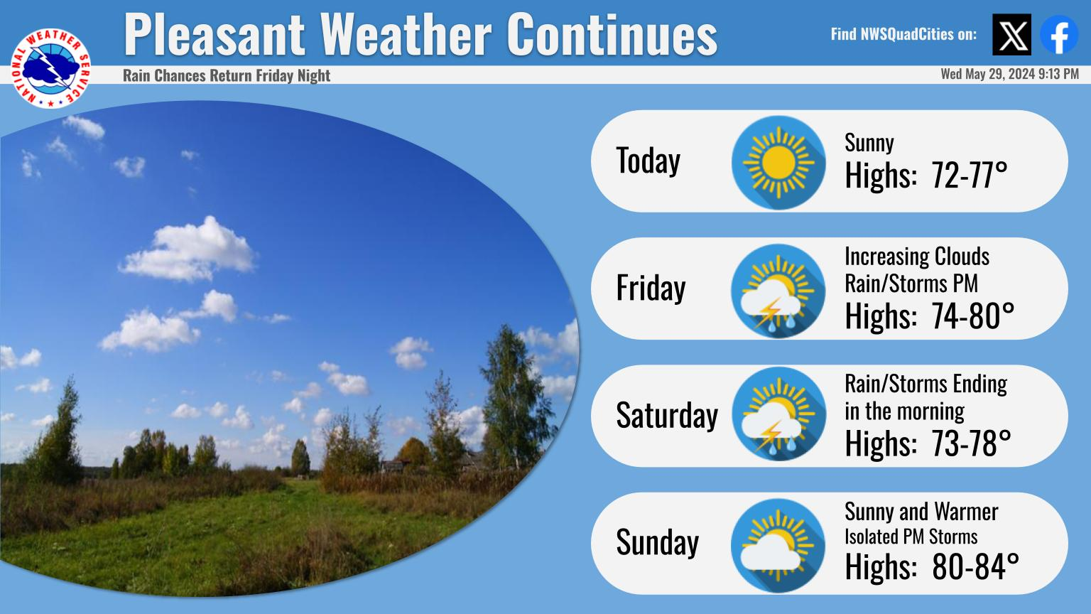
I would greatly welcome some heavy rain here at Tradition Manor, but sadly, the weather is expected to be absolutely beautiful for the forecastable future....
 
I didn't look in depth. It's hard to get that detailed for a really specific area. We should have multiple waves of mesoscale convective systems (big blobs of thundershowers overnight) pushing through between Fri - Sun

That's what I'm hoping for.

I don't doubt that much of Iowa is going to get lots of rain. I just want the locations that need it the most to not get effectively shut out (by comparison) like what seems to happen all too often lately.
 
  • Like
Reactions: h-hawk

Yep. I know the first wave is due around then, maybe a tad bit earlier. I told my early bus route kids (begin picking them up about 645) - you're gonna get wet when I pick you up for school tomorrow.

It'll most likely be a good start. However, there's going to be chances for several rounds of storms rolling through this weekend and it'd be great if most all of them hit us with a good soaker.

This weekend isn't going to break our drought, but it can put a pretty good dent in it. We need it badly.
 
  • Like
Reactions: Colonoscopy
Gotta get the old ladies that never go outside anyway worrying about the weather for clicks and tv ratings.

“It’s going to hail somewhere in 72 hours, stay alert”.
 
  • Like
Reactions: torbee
So...

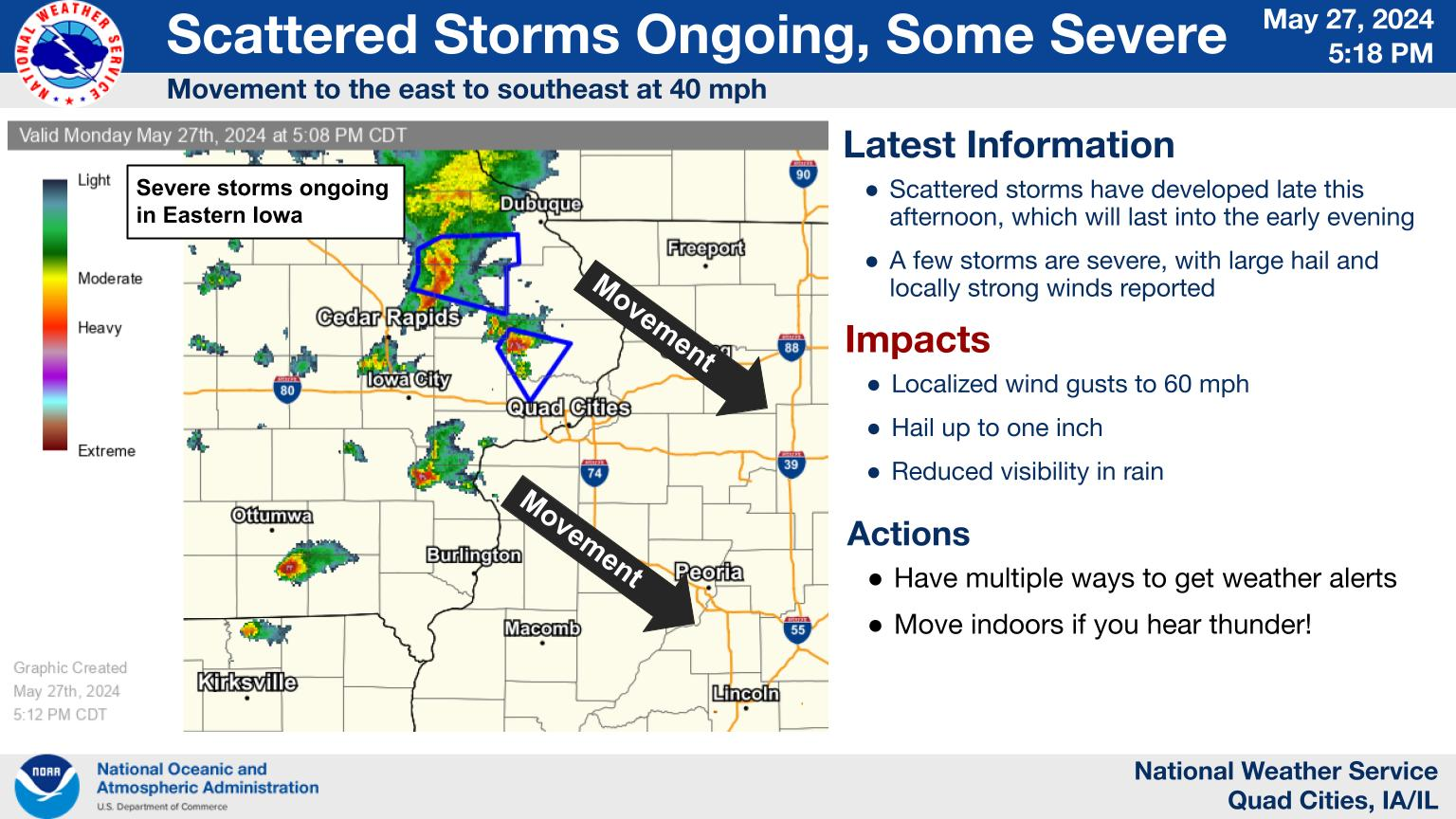
OF COURSE Cedar Rapids gets a whopping 0.03 of rain out of the first line. You see this huge blob of reasonably heavy rain taking dead aim right at CR/IC...and it just DIES as it reaches I380. It's heading a perfect NE and decides to take a turn to due east as it reaches Linn and Johnson counties.

To add in, we got 63 miles per hour wind gusts after this monster of a line finished going through. I got a couple tree limbs down in my back yard.

Just have to laugh at the absurdity of it any more...
Saw that and had to laugh
 
Please rain heavily, that's all I ask for out of this. From I35 down to say US34, and on over northeast from those.
I got stalled trying to drive from Des Moines to North Platte last night when I hit a rainstorm that got progressively worse as I got further west of Lincoln. Eventually doing 40 on the interstate and wasn't going to make North Platte before hotel lobby closed so I pulled off in Grand Island and figured I would sleep in my car in parking lot of Planet Fitness but I wanted to stop at Casey's before they closed. Couldn't see shit and drove through two big ass puddles and hydro locked as I was pulling in to Casey's. Slept there last night and repair estimate is more than what I paid for car so I'm getting towed to a motel and then getting picked up by my father tomorrow and we're going to be coming back with a friend's car trailer when we can borrow it sometime this next week. Harvest better be damned good for how irritated I am today
 
Gotta get the old ladies that never go outside anyway worrying about the weather for clicks and tv ratings.

“It’s going to hail somewhere in 72 hours, stay alert”.
Make sure you keep saying this in every single weather-related thread. So far that’s an easy task for you.
 
Seriously you know how when you drive through Nebraska and notice they have to use irrigation systems in the field? Are they just bullshitting me or what? That was Old Testament shit last night. I guess I didn't get hurt so count blessings and stuff
 
ADVERTISEMENT
ADVERTISEMENT